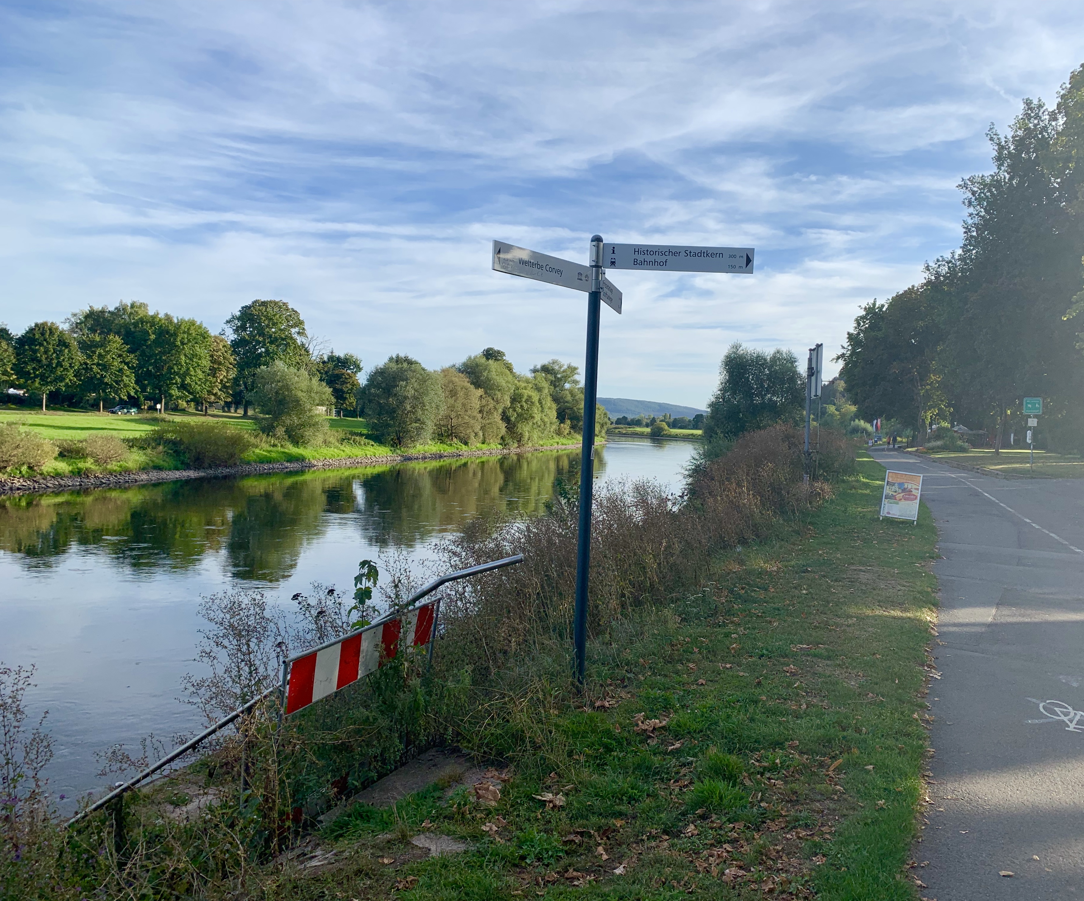
The Weser is a 451 km long German river. The Weser is formed in Hannoversch Münden by the confluence of the Werra and Fulda rivers. The mouth of the Weser is near Bremerhaven into the North Sea.
This makes the Weser the only river in Germany with an exclusively domestic catchment area.
The Weser flows through the federal states of Hesse, Lower Saxony, North Rhine-Westphalia and Bremen.
The source river Werra originates in the Thuringian Forest and was in the time before the 13th century the upper course of the Weser and the Fulda was regarded as the largest tributary.
The spring river Fulda has its source in the Rhön. The largest tributary of the Fulda is the Eder, which we follow in stages towards Frankfurt and the Lahn.
History : Since the 13th century (period of the Early New High German) we can divide the Weser into the following sections:
1) Oberweser: From Hann. Münden to the Porta Westfalica is the section of the Oberweser, which here flows through the Weserbergland. There are some older half-timbered villages with inviting resting places.
The approximately 200 m deep Weser breakthrough Porta Westfalica separates the Weser Mountains and the Wiehen Mountains, after which the Weser flows into the North German lowlands.
2) Mittelweser: From the Porta Westfalica near Minden to Bremen is the section of the Middle Weser.
Larger cities on this section are Petershagen, Nienburg, Verden - here the Aller flows into the Weser.
3) Lower Weser: From Bremen to the mouth of the North Sea is the section of the Lower Weser.
History
The valley of the Oberweser was first settled by Celts. Then the Teutons advanced and they fought around the Weser Fights, of which the Varus Battle is the best known.
At the time of the Frankish Empire under Charlemagne, bishoprics were founded along the Weser and several market settlements were built next to monasteries.
Navigation on the Weser
Already the Romans navigated the Weser with their ships. Upstream the ships were pulled or towed on ropes by humans or draught animals. Near the banks there were towpaths or linepaths.
Today the whole Weser is navigable in principle, however there was and is freight shipping primarily only up to Minden, since here the Mittellandkanal crosses the Weser over a bridge.
overview map
Here you can see all current available stages in this region
following single stages are available


