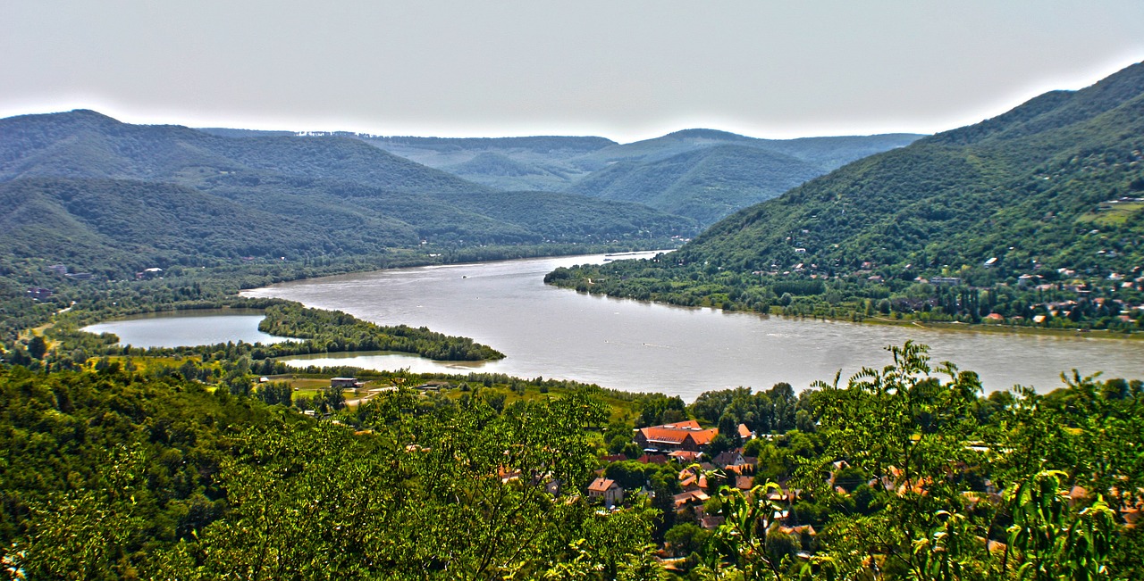
The Spree is a German river that flows through the federal states of Saxony, Brandenburg and Berlin.
After about 400 km, the Spree flows into the Havel in Berlin Spandau.
The Spree has three sources in the Lausitzer Bergland, first flows a few kilometers over a plateau, is then dammed in a dam near Bautzen and then leads into a lowland.
The Spree branches out into small and large tributaries and is regularly referred to in the upper reaches as the Main Spree and the Small Spree.
The area that the Spree flows through here is very densely wooded.
The first larger city on the Spree is Cottbus with a beautiful old town. After the Spree Cottbus has flowed through for about 30 km, the Spree branches into a large inland delta in the Oberspreewald and behind Lübben the forested Unter-Spreewald joins.
North of the Spreewald the Spree flows eastwards to the Schwielochsee, then northwards to Beeskow up to the Berlin Urstromtal.
From the Urstromtal, the path of the Spree then leads northwest into the metropolitan region and VEP Berlin.
The Oder-Spree Canal was also built in this glacial valley.
In the last section of the river the Spree continues as MüggelSpree into the Müggelsee and the western part, the Spree, leads to the Seddin See, which continues to the Dahme.
The river Dahme later flows into the Spree near Berlin Köpenick.
overview map
Here you can see all current available stages in this region
following single stages are available


