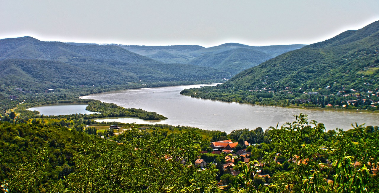
The Main is a German river and with 527 km the longest tributary of the Rhine. The Main is formed by the union of its two source rivers:
-the Red Main that rises in the Franconian Alb at 580 m above sea level
-the White Main which rises in the Fichtelgebirge on 887 m
The source rivers unite at Kulmbach and the Main flows after 472 km (united length) at Mainz from the east into the Rhine.
The city centre of Mainz is located on the left side of the Rhine opposite the estuary.
The Main flows through the federal states of Bavaria, Baden Württemberg and Hessen and the wine-growing areas of Franconia, Hessen and the Spessart, where it receives numerous tributaries.
The Main flows in large arches first through a region in Lower Franconia with little settlement, but then comes from Aschaffenburg to the mouth in the more populated Rhine-Main area.
Navigation on the Main River
The Main is navigable from Mainz to Bamberg (approx. 388 km) - from there the Main is connected to the Danube via the Main-Danube Canal. There are numerous inland ports on the Main.
History of the
Historically, the Main served as a transport route already in the Celts - Roman and Franconian times. The Main had a strategic value for the Roman invasion of Germania.
Numerous finds from the time of the Roman Empire prove this and also the Limes border wall crosses the Main in some sections.
overview map
Here you can see all current available stages in this region
following single stages are available


